Surfaces
Command
Link CommandDifficultyintermediateAdded2027.0StatusdraftLink Points Command
Description:
Creates a 3D polyline connecting COGO points with the same description. The COGO point elevations will be used for the 3D polyline vertices' Z values. This command works for COGO points as well as Survey points:
Location on Compact Ribbon:
Location on Extended Ribbon:
Instructions:
-
Run the command.
-
Select a COGO point that you want the 3D polyline to start from (in this case "ET")
-
Specify a maximum distance between points to connect.
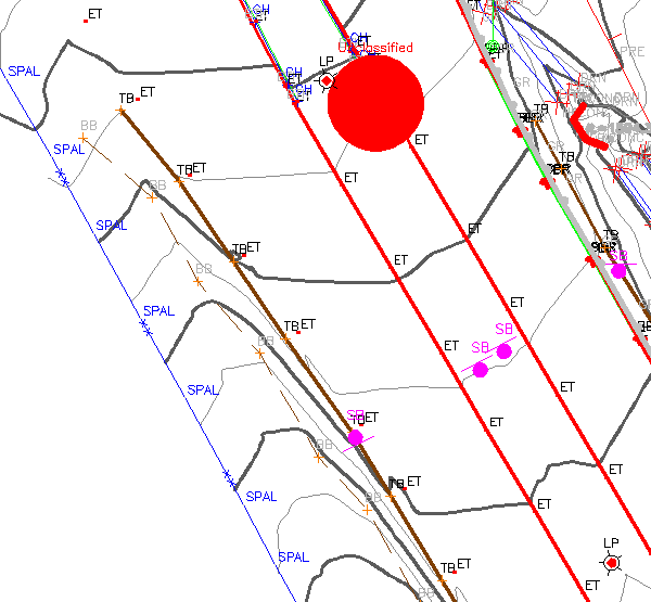
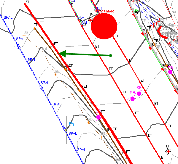 Before After