SA System CommandDifficultyintermediateAdded2027.0StatusdraftLo System Command
Description:
With this command you can:
- Check the project location if you know the Lat Long or YX coordinates
- Determine which Lo system to use for your project
- Determine the block plans to use for your SHP files
- Convert coordinates between Lo systems
- Import YX files, and convert them to Lat Long coordinates
- Export the converted coordinates to a file
- Create COGO points in your design from the coordinate lists that was converted
Location on Compact Ribbon:
Location on Extended Ribbon:
Instructions:
-
Run the command.
-
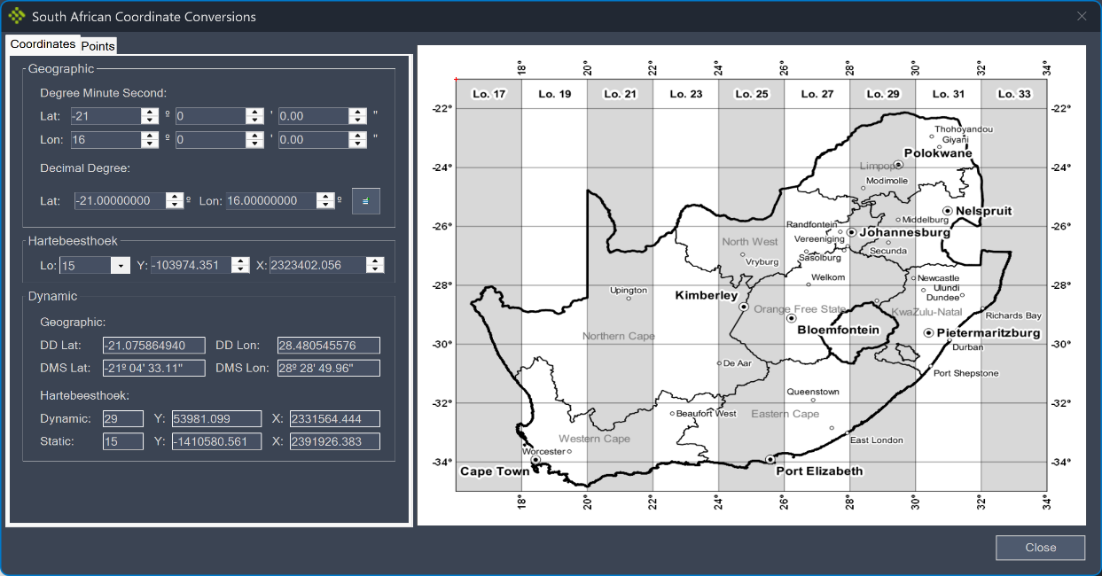
Select the input format. Set the Lo system you want to work in. By entering your coordinates on the dialog, a red marker will indicate the location of your point:
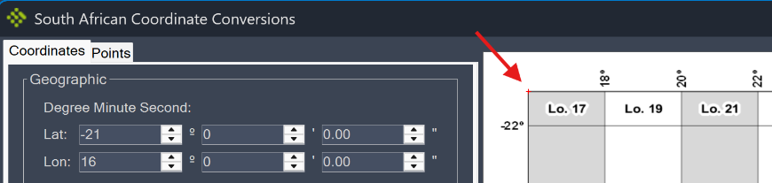
To determine the Lo system for the coordinate, look at which "band" the red marker is in, and read off the Lo value.
-
To convert the YX files from Hartebeesthoek to Lat Long the user should add the Lo number into the csv file in the first column. The example below is for Lo 27:

-
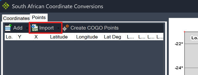
Go to the Points tab and click the Import button. Select the file you want to import.
-
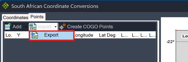
To export the data from your point list, go to the Points tab and click the Export button:
-
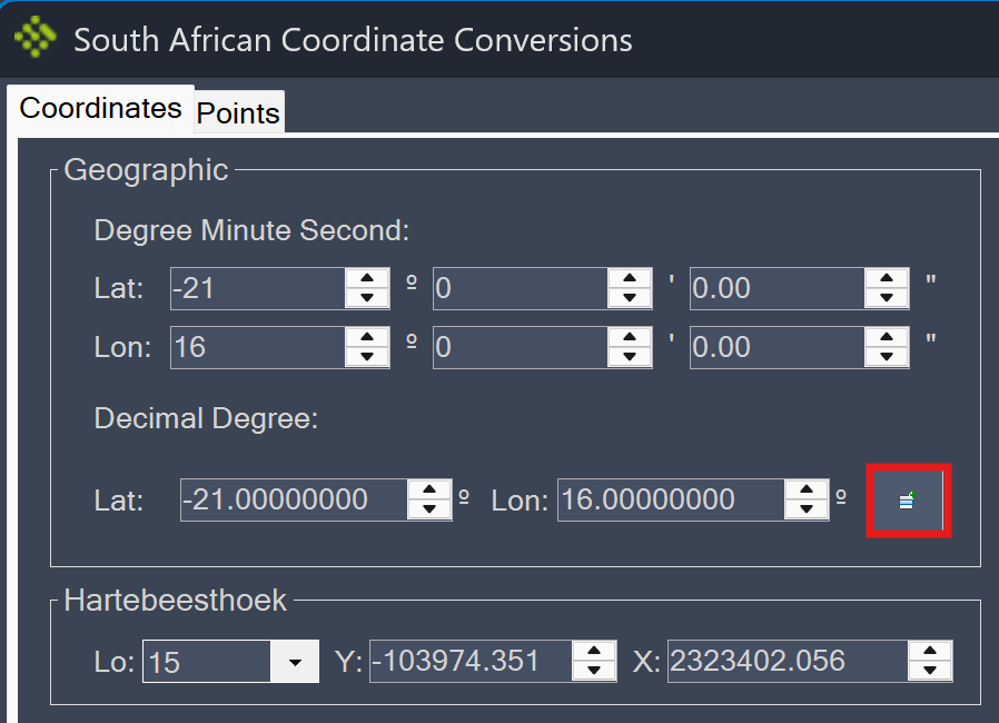
To add a point to the list, enter the values for the YX or Lat Long coordinates that must be converted, as well as the Lo system for the projection, then click the button next to the Decimal Degree coordinate:
**
 **
** -
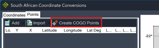
Go to the Points tab and select the Create COGO Points button if you want to create COGO points from the coordinates in the list: